 |
|
|
||||
| Michigan Water Science Center |
| Introduction || | Objectives || | Methods || | Acknowledgements || | Cooperators |
|
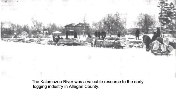
Project Chief Cyndi Rachol Fluvial Geomorphology - Study of the Kalamazoo River Evaluate Historical Literature and Aerial Photography Published Report Related WebPage Table of Contents |
Evaluate historical literature and aerial photography
Historical literature US Army Corps of Engineers:
|

![]() U.S. Department of the Interior |
U.S. Geological Survey
U.S. Department of the Interior |
U.S. Geological Survey
URL:
Page Contact Information: Webmaster([email protected])
Page Last Modified: Last modified: June 23 2006 11:00:52.