|
| Michigan Water Science Center |
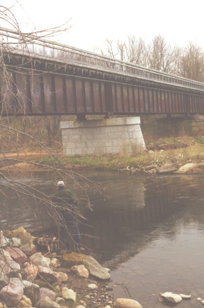
d Photograph of White's Bridge
This picture of White's Bridge was taken in April 1999 from the east bank upstream of the
bridge. Jim Bennett of the U.S. Geological Survey stands on the bank gazing at this old
girder railroad bridge that now carries the recreational traffic of White Pine Trail State
Park. The picture shows the two support piers about which islands formed and which divide
the Muskegon River into three channels as it goes under the bridge. Only the east and
middle channels are visible in the picture.